The Department of Environment and Natural Resources (DENR) is tapping the power of wireless communications technology to expand conservation efforts within protected areas (PAs) across the country.
The agency launched on Thursday a web-based mobile application called Lawin Forest and Biodiversity Protection System (LFBPS) that would provide accurate information about the status of PAs covered by Republic Act No. 7586, or the National Integrated Protected Areas System (NIPAS) Act.
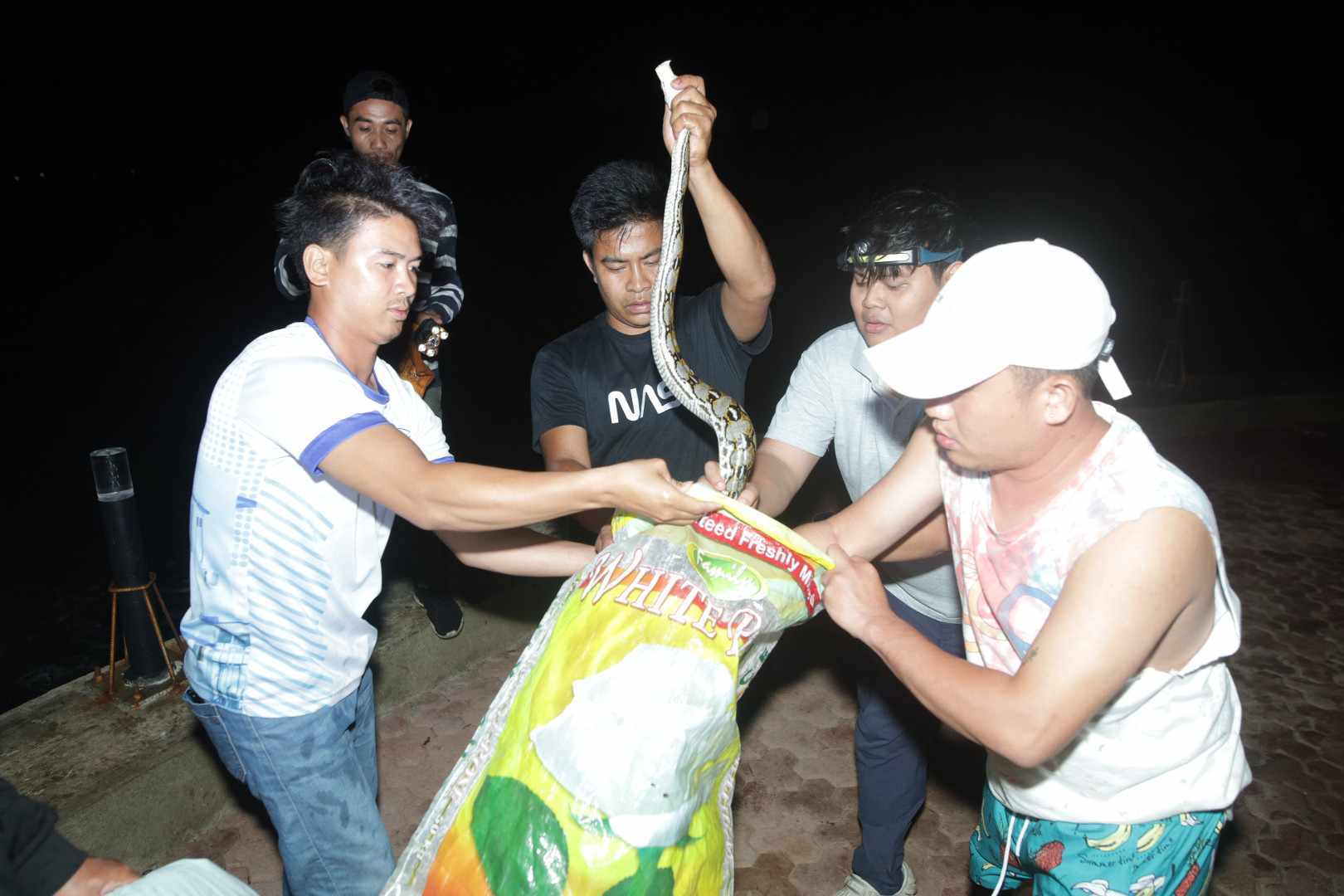
LFBPS would enable park rangers and planners to access critical information in real time and share information about what they find in the field, and would allow wildlife authorities speedy access to information on hundreds of protected species and resources which they can use in identifying and prosecuting wildlife crime.
DENR Secretary Ramon J. P. Paje welcomed the application as a way to facilitate the country’s wildlife conservation efforts.
“Technology and its applications, like the LFBPS, will surely allow us to cope with the different challenges the environment faces. We see it as a way for us to come up with better ways to reverse environmental degradation and biodiversity loss, and at a faster pace,” he said.
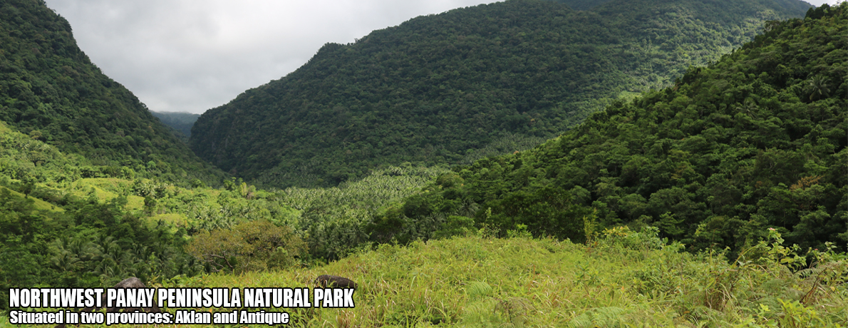
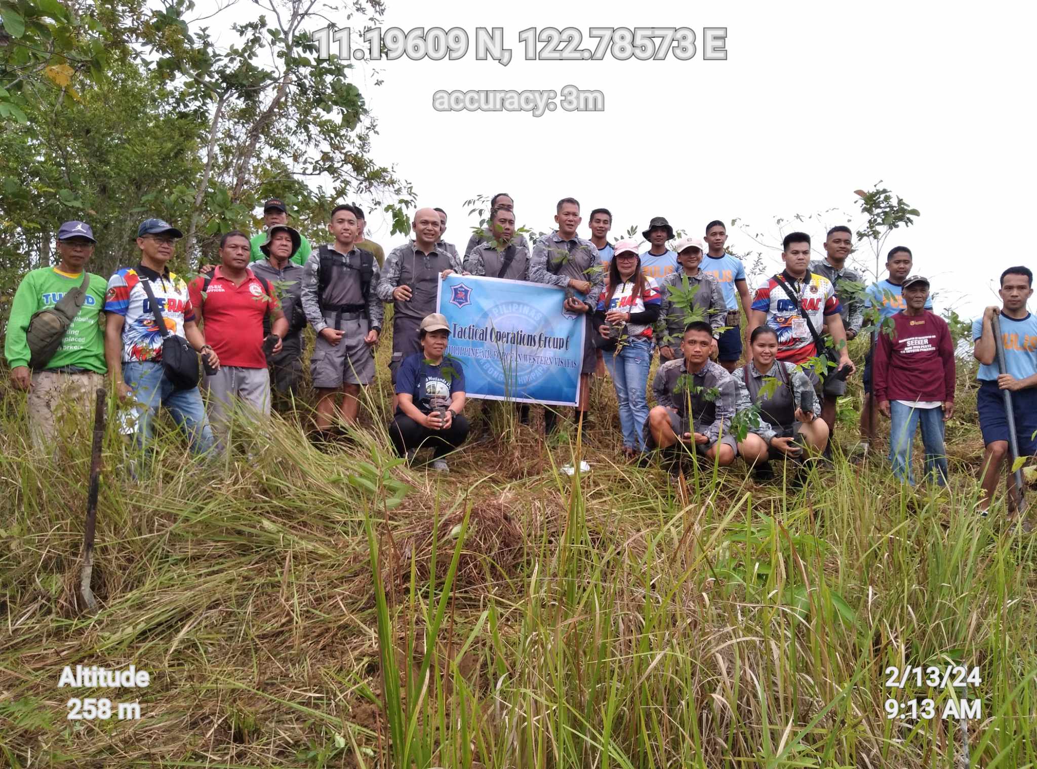
The debut of the mobile app was held at the Fuyot Spring National Park (FSNP) in Ilagan City, Isabela, one of the local government units that overlap in the 360,000-hectare Northern Sierra Madre Natural Park (NSMNP), the largest protected area in the country.
The launching rites was led by DENR Undersecretary for Field Operations Demetrio Ignacio and Isabela Gov. Faustino Dy, who also witnessed the signing of the guidelines and mechanics for the national adoption of the project by Forest Management Bureau Director Ricardo Calderon and Biodiversity Management Bureau Director Mundita Lim.
Project Lawin is developed by the DENR and the Biodiversity and Watersheds Improved for Stronger Economy and Ecosystem Resilience (B+WISER) Program of the United States Agency for International Development (USAID).
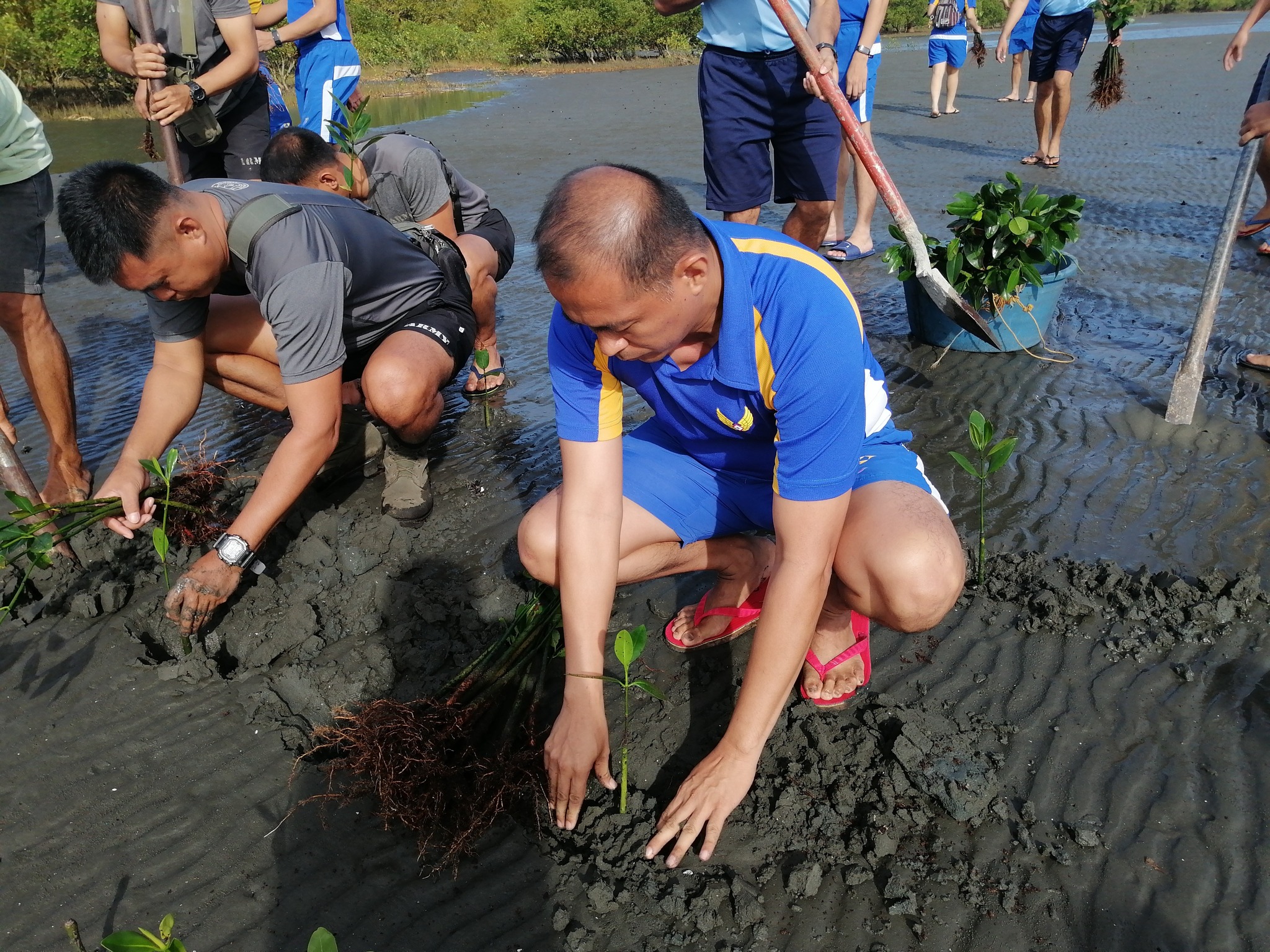
It aims to improve the response mechanisms to address observed threats and ensures the sustainability of conservation efforts inside the country’s PAs over the long-term with active support from local communities in the monitoring and enforcement of wildlife laws, especially in areas that are considered hotspots for timber and wildlife poaching.
Pilot testing of the project started in 2015 in FSPN and in seven other B+WISER project sites, covering a total area of 442,000 hectares.
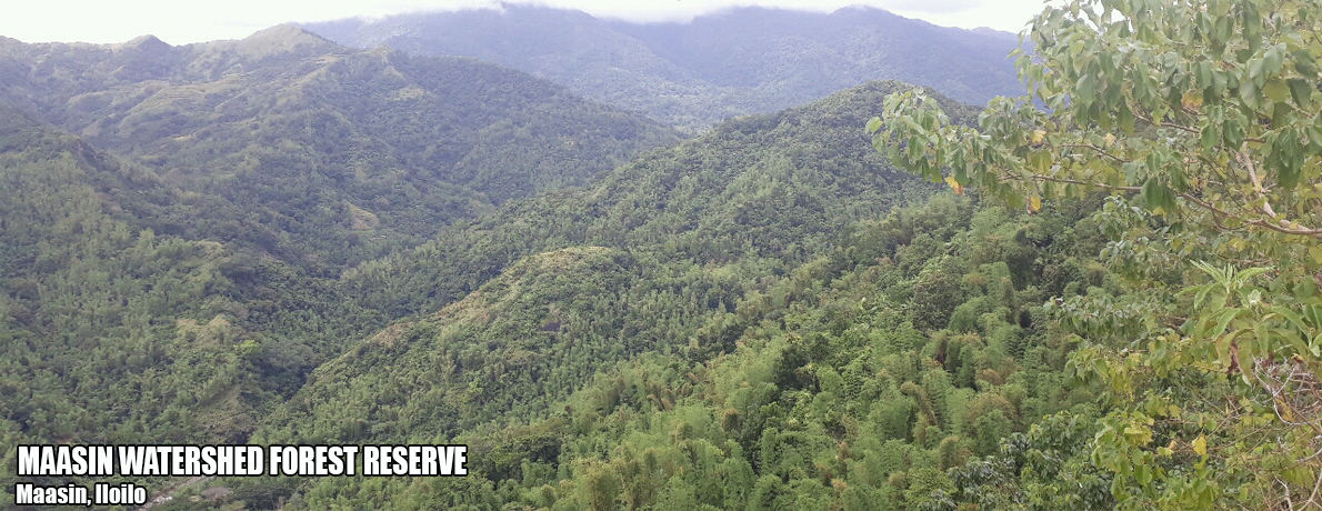
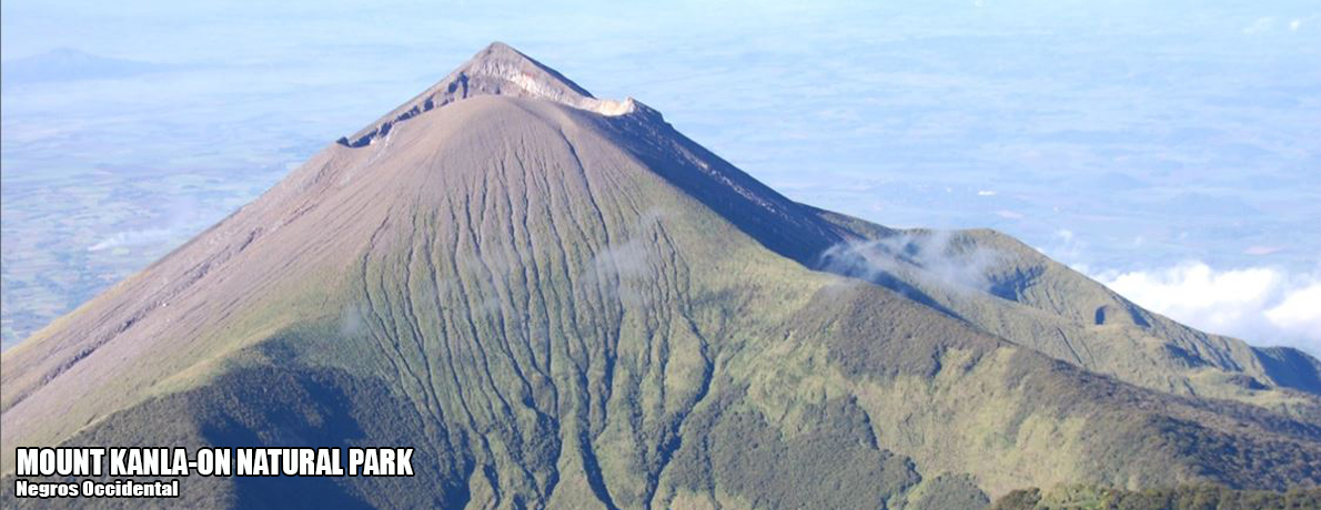
The other pilot sites were NSMNP in Region 2; Kaliwa-Upper Marikina Watersheds in Tanay, Rizal and General Nakar in Quezon province; Naujan Lake National Park in Oriental Mindoro; Quinali “A” Watershed in Albay; Bago Watershed Forest Reserve in Negros Occidental; Mt. Kitanglad Natural Park in Bukidnon; and Mt. Apo Natural Park in Southern Mindanao.
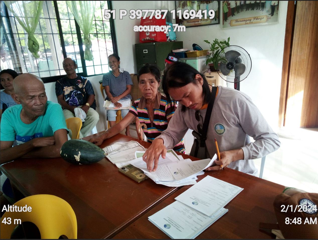
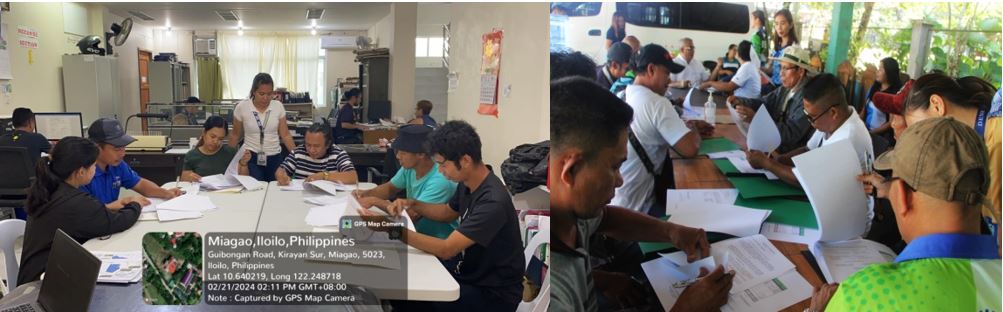
At least 670 wildlife workers, consisting of resource and data managers and community monitors who are mostly indigenous peoples, were trained during the pilot testing.
The project’s system operates web-based, open-source software called “CyberTracker” for the data collection interface and the Spatial Monitoring and Reporting Tool (SMART) for data analysis, mapping and report generation.
Data can be transferred to Google maps and other tools for creation of actionable reports, which facilitate decision-making. Decision-makers at the regional and national level could easily access Lawin patrol reports generated at the field level.
During the pilot testing, the system was found to be effective in spotting the trends and patterns of wildlife species using Geographical Information System or GIS.
The data collected gives national and local planners a more detailed perspective of a PA’s biodiversity and how to manage them more intelligently and efficiently.
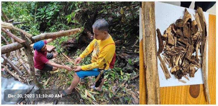
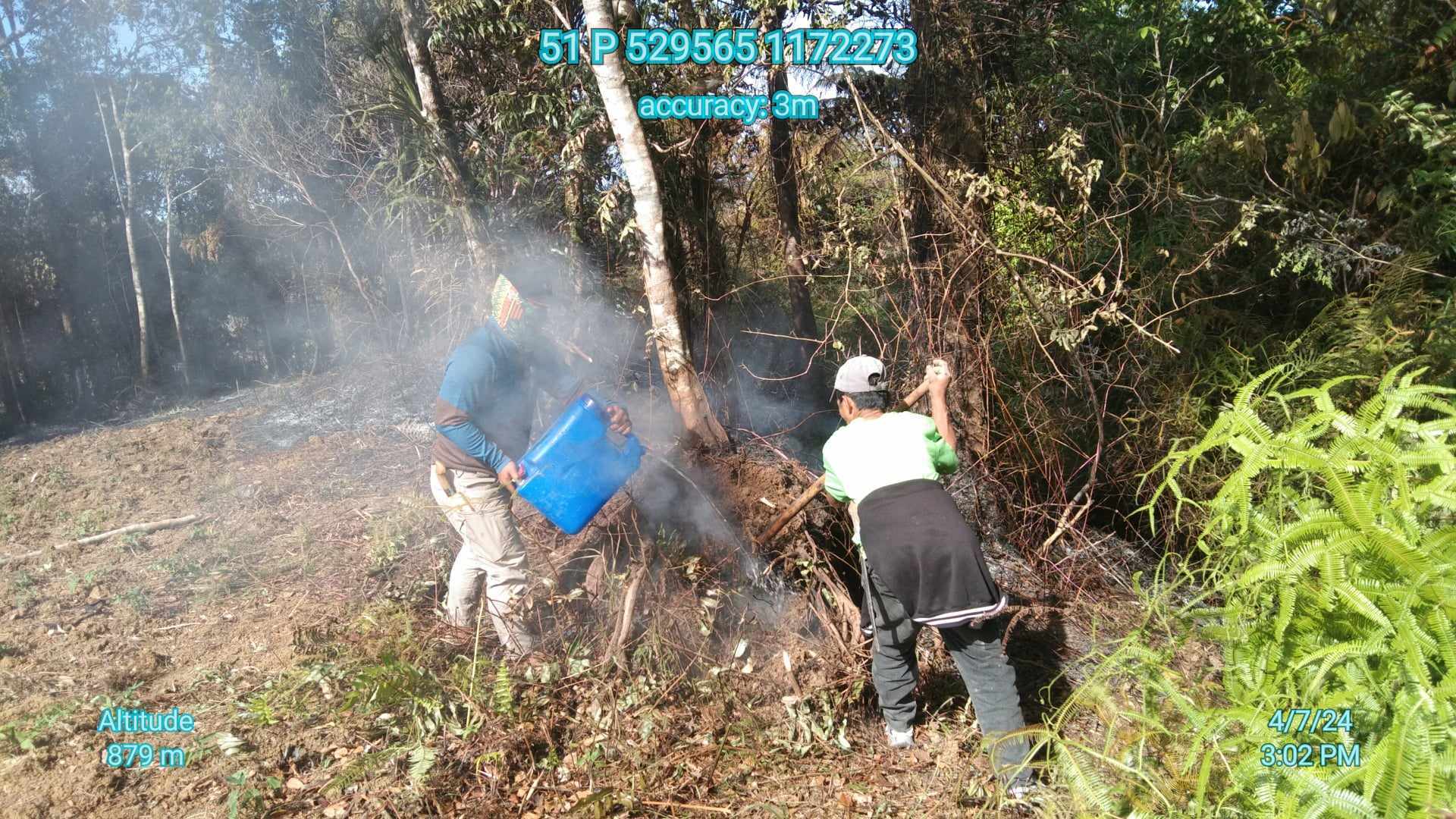
The system was also found to be helpful in enabling wildlife patrol rangers, which are mostly community volunteers, to quickly alert wildlife officers to recent clearing of wooded areas, and allows them to upload observations and photos of signs of illegal logging as evidence, and send these photos to concerned law enforcement agencies. #